A real place, honestly represented
Art, photo
& map credits.
Original illustrations and documentary imagery have different jobs. Their labels, research sources and limits stay visible.
Original editorial artwork
Five finished illustrations were created for this publication with the built-in image-generation tool. They are interpretive artwork, never sources for Reed or proof of historical or current conditions. The supplied CIVAIL screenshots informed editorial layout and color; their artwork, logo, text and fictional town were not republished.
The historic spring shelter
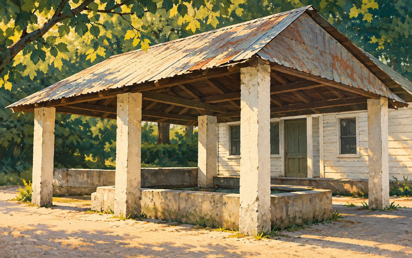
Type: AI-assisted historical illustration. Created October 30, 2026. Original generated output used for this publication, compressed to WebP and displayed with responsive crops. No documentary authenticity is claimed.
Structural research: a modest shelter with pale posts and a low enclosure, from a postcard identified by its publisher as the 1940s. Light, viewpoint, materials and vegetation are interpretation; this is not an exact reconstruction.
Rail, timber and tomatoes
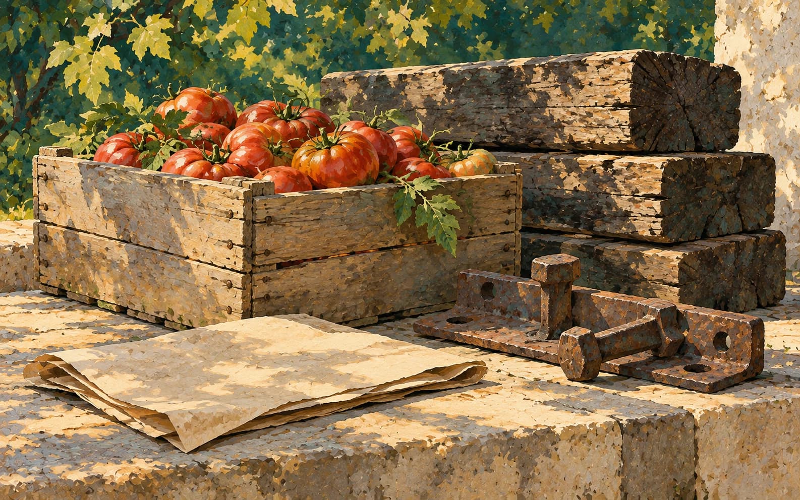
Type: Conceptual illustration. Created October 30, 2026. Original generated output used for this publication, compressed to WebP and displayed with responsive crops. No documentary authenticity is claimed.
Conceptual objects, not authenticated artifacts or an actual City document.
Sharing a memory

Type: Conceptual illustration. Created October 30, 2026. Original generated output used for this publication, compressed to WebP and displayed with responsive crops. No documentary authenticity is claimed.
Conceptual adults and a photo album. No actual resident, café, festival or local view is depicted. An earlier generated background with invented lake scenery was rejected and is not in the public assets.
Reading the record

Type: Conceptual illustration. Created October 30, 2026. Original generated output used for this publication, compressed to WebP and displayed with responsive crops. No documentary authenticity is claimed.
Conceptual objects, not authenticated artifacts or an actual City document.
The old stone school
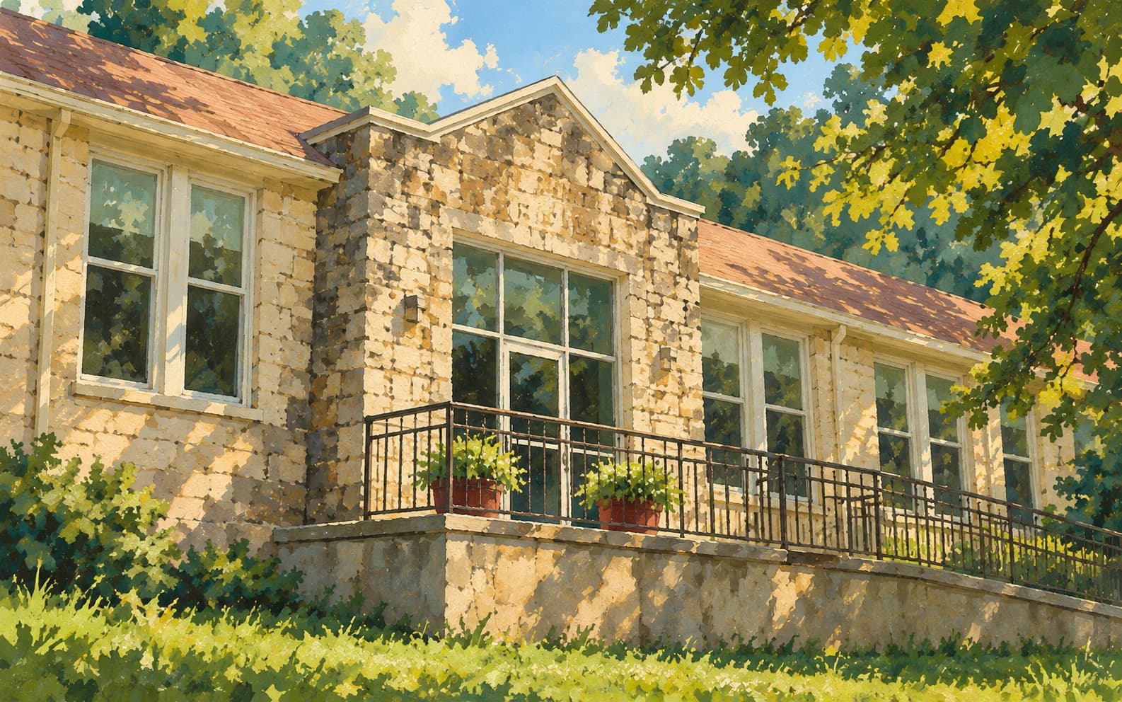
Type: AI-assisted architectural interpretation. Created October 30, 2026. Original generated output used for this publication, compressed to WebP and displayed with responsive crops. No documentary authenticity is claimed.
Architectural research: the 2017 KY3 view of the old rock school. The new oblique composition is an interpretation, not a 1930s scene or a current-condition image.
Research photographs: viewed, not republished
The following photographs helped establish narrow structural details. Publication rights to those photographs have not been established; none is included in this site’s public files.
- Beautiful Ozarks: spring postcard identified as 1940s ↗
- Branson Globe, Joelene Powell, September 17, 2026: local history and spring image ↗
- KY3, Kadee Brosseau, July 5, 2017: original rock high school ↗
Documentary photograph
Reeds Spring from above · June 2022
Creator: USDA National Agriculture Imagery Program / USGS The National Map. Capture date: 2022-06-30. Reuse: Public domain — U.S. government aerial imagery.
Original raster record ↗ · Exact export and extent ↗ · Official service and rights statement ↗
Official USDA raster m_3609321_ne_15_060_20220630, OBJECTID 89757. Export bbox -93.389,36.739,-93.375,36.749 intersects the Census city polygon; this is not described as a street-level downtown photograph.
Edits: NaturalColor export reprojected to Web Mercator; resized/compressed to WebP, no scene edits. Original export retained privately. Newspaper front-page display crops to 16:8.2 on desktop and 16:9.5 on phone; other contextual features retain their own responsive crops.
Alt text: A natural-color aerial view of roads, homes and wooded land in Reeds Spring, photographed June 30, 2022.
Street-level and community photographs remain welcome when permission can be documented. Original illustrations do not fill that documentary-photo gap. Offer a photograph for private review →
The locality map
U.S. Census Bureau incorporated-place geometry: GEOID 2961112 (Reeds Spring) and 2907989 (Branson West), retrieved October 30, 2026. Federal geographic data projected into SVG with added labels. This is not a survey or patrol map.
Original Census query ↗ · Download GeoJSON ↓ · Version and provenance